Final environmental report brings planned Borderland Expressway closer to reality
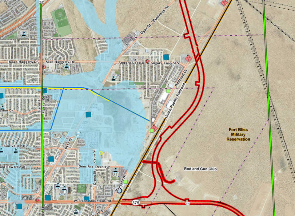
The planned Borderland Expressway, the last piece of a highway loop around El Paso, could begin construction later this year.
The 10.8-mile highway could take up to 10 years to complete, depending on funding, Texas Department of Transportation officials have said.
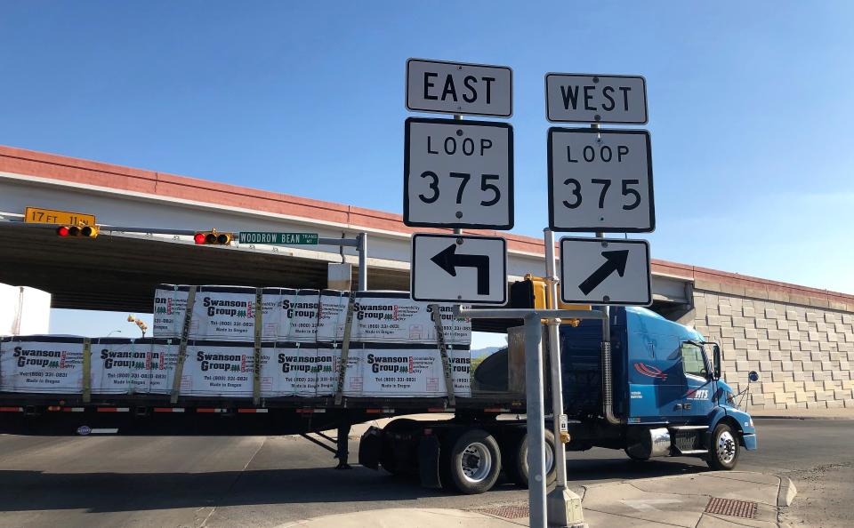
It will run from Trans Mountain Road (Loop 375) to Martin Luther King Jr. Boulevard in far Northeast El Paso, and connect to a New Mexico state highway.
TxDOT recently issued the final environmental assessment for the project, with its finding of no significant impact on people or the environment. That’s the same finding made in the draft assessment issued last year.
Agency officials plan to officially issue the environmental finding in February ‒ after the ongoing, 30-day public review period of the assessment, Jennifer Wright, a TxDOT spokesperson in El Paso, said in an email. That will clear the way for construction.
Bids for the project’s $20.4 million first phase are expected to be solicited in April, and construction is projected to begin in the summer, Wright said.
The first phase is to construct frontage roads between Railroad Drive and Dyer Street — the only frontage roads planned for the highway.
The entire, three-phase project is projected to cost $310 million, not including millions of dollars of additional costs for acquiring 532 acres of land from a city agency and Fort Bliss.
More: Texas Transportation Commission OKs Downtown I-10 expansion despite Stout's opposition
The highway would be built mostly on vacant land. However, portions of it would pass near two residential neighborhoods: Mesquite Hills, between Dyer Street and U.S. Highway 54; and another neighborhood off of Angora Loop Street, between Dyer and Railroad.
The highway will pass near the Van Horne Estates apartments at 11611 Dyer St., adjacent to Mesquite Hills. TxDOT has acquired almost an acre of vacant land near the apartment complex for the new highway.

Some residents of neighborhoods near the new highway expressed worries about traffic noise and other effects in comments submitted to TxDOT several years ago; they were included in the environmental assessment. Some residents wanted the highway moved further from their neighborhoods, which TxDOT officials did not do.
No residential or commercial properties will be displaced by the highway, the environmental assessment found.
The final environmental assessment can be viewed online at txdot.gov, or in person at the TxDOT El Paso District office at 13301 Gateway West Blvd. More info: 915-790-4359.
Vic Kolenc may be reached at 546-6421; vkolenc@elpasotimes.com; @vickolenc on Twitter.
This article originally appeared on El Paso Times: Environmental report brings planned Borderland Expressway near reality
